Seward Park · October 2024
Posted Aug 19, 2026
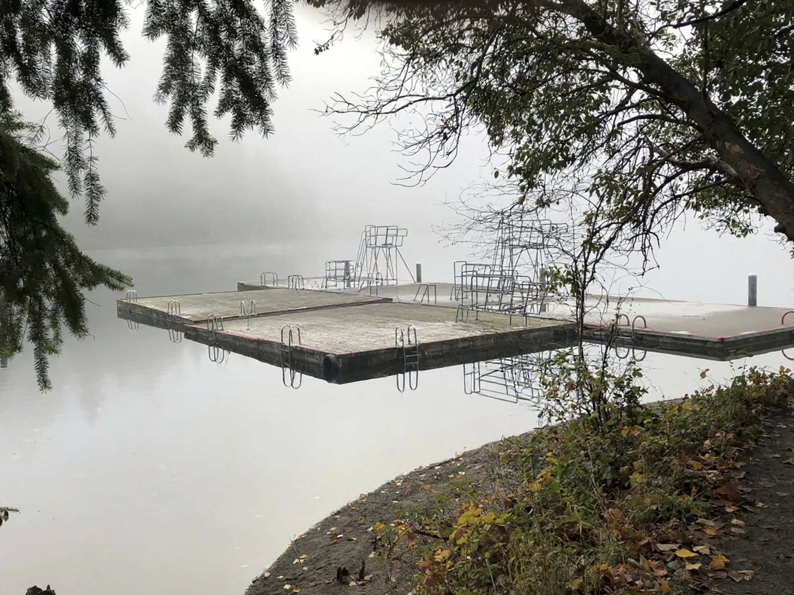
A Dock Alone in October
Lake Washington gone completely still.
Ninety-four neighborhoods
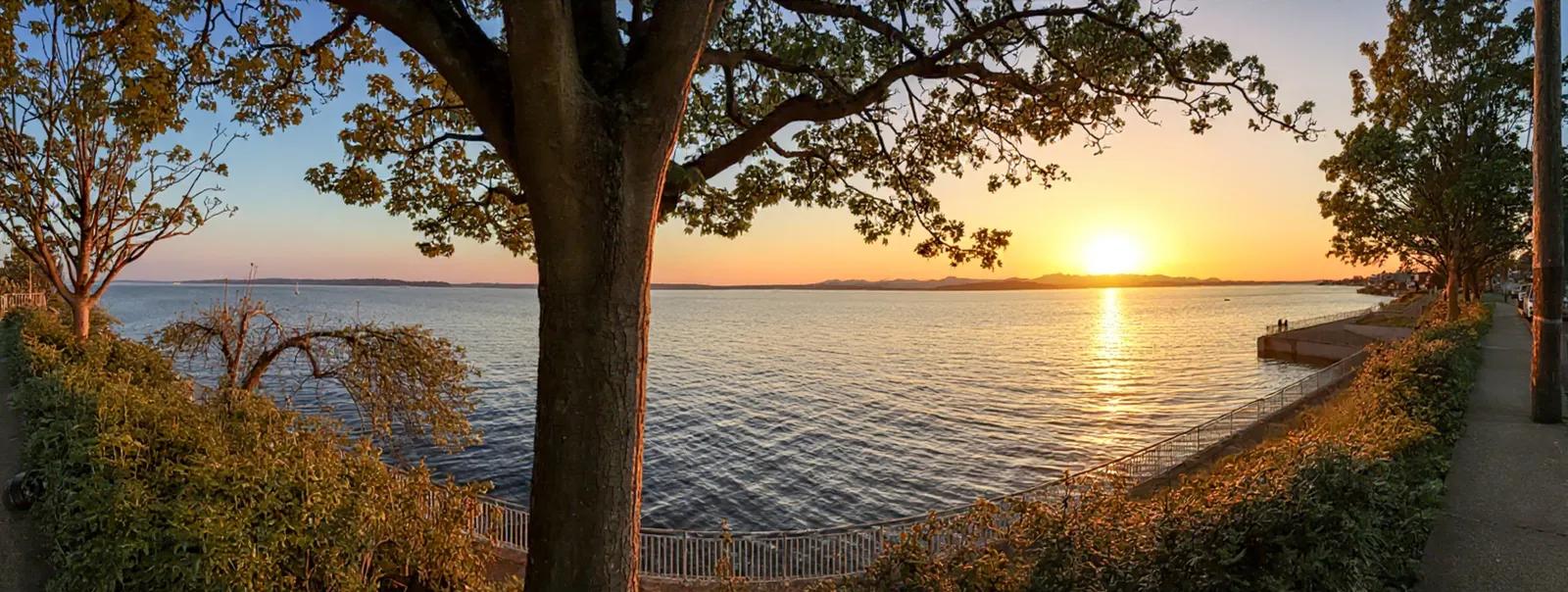
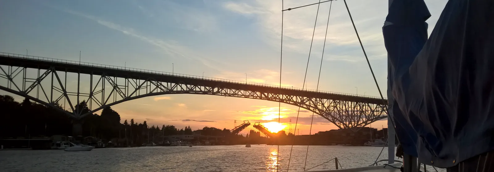
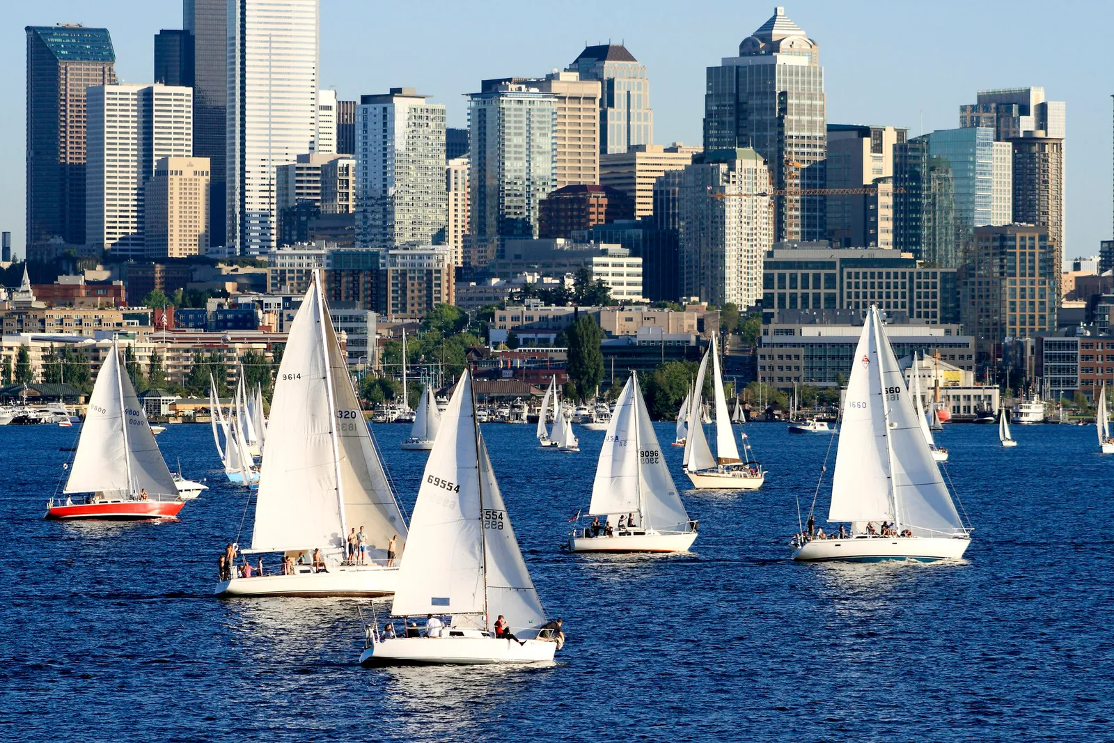
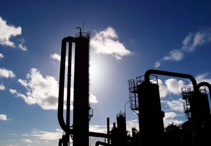
Seattle is not one place. Ballard puts a restaurant scene next to a working fishing fleet, and Georgetown makes its art out of the industrial. Gas Works has the view. Magnolia has the quiet, and the sunsets belong to Shilshole and Alki. The city's own atlas divides it into ninety-four neighborhoods, and I'm working through them with a camera. Properly, not just the postcard vantages.
Every shape on this map is a real neighborhood boundary. The colours sort them into the city's twenty districts, which is nearer to how people here actually talk; nobody tells you they live in Briarcliff, they say Magnolia. A warm dot marks the ones I have photographed. Click any shape, including the empty ones.
These first posts are from my personal archive. I have been photographing this city for years and planning this site for a few of them, so there is a backlog to put up before any of my new stuff gets posted. That was deliberate. Waiting on perfect new light is a good way to never launch anything in a city that hands it over about twice a year.