Posted Aug 18, 2026
Named After the Wrong Tree
The neighborhood is named for a tree that does not grow here, and the culprit is holding up the left side of this frame.
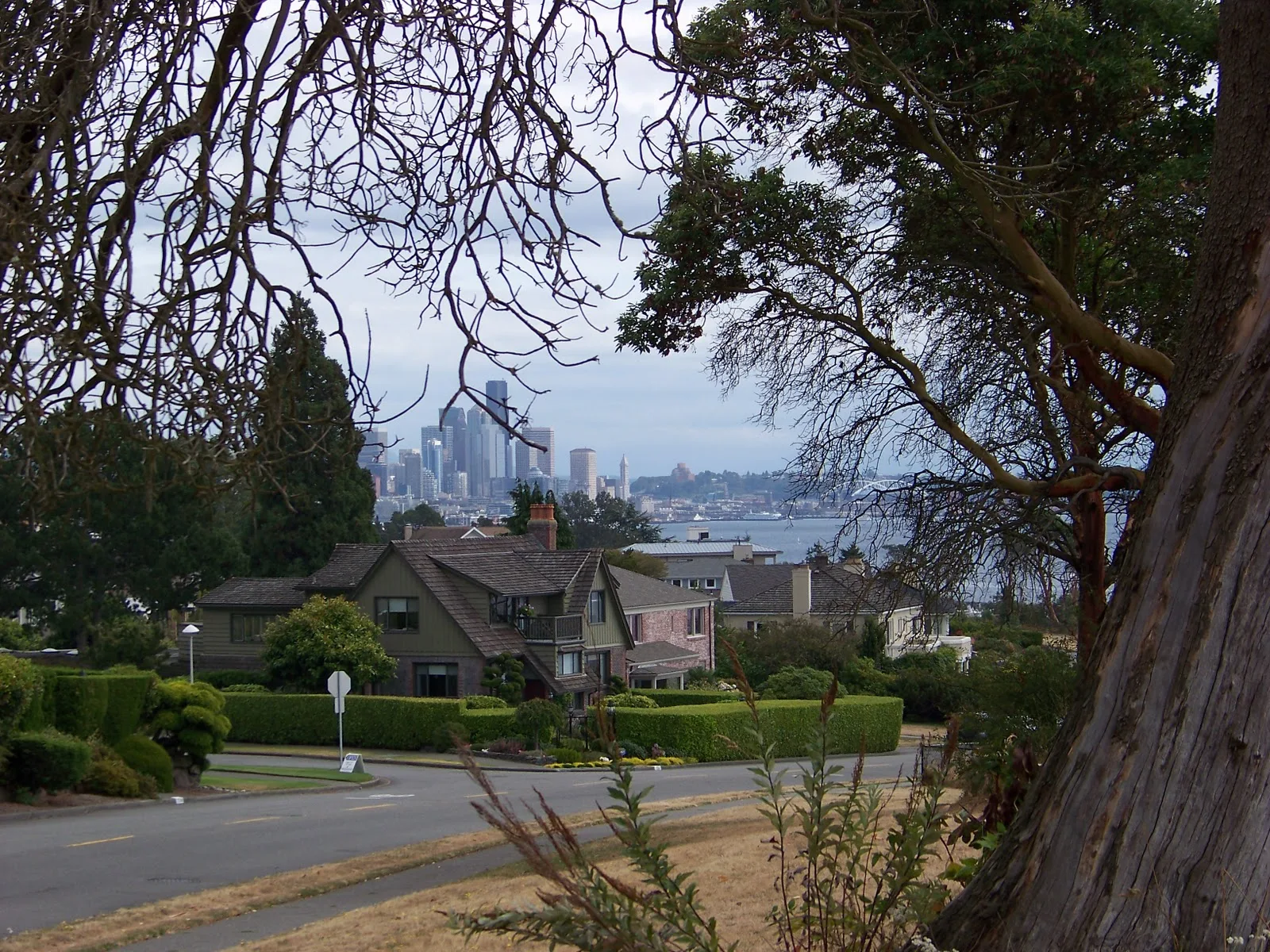
Magnolia is a mistake that stuck. In 1856 George Davidson, a navy geographer surveying Puget Sound, looked up at this bluff, saw the broadleaf evergreens crowding the top of it, and wrote down magnolia. They were madronas. The name went onto the charts, the charts became the maps, and a hundred and seventy years later thirty thousand people live in a neighborhood named after a tree that does not grow here.
The city atlas files this particular bluff as Briarcliff. Nobody standing on it says that. Ask anyone on this street where they live and you will hear Magnolia, which means a surveyor’s error from 1856 has now beaten the official map twice: once when it got written onto the charts, and again when it outlasted the name the city tried to give the place afterward.
The tree framing this photograph is the guilty party. That is Pacific madrone: peeling red bark, limbs that go in whatever direction they feel like, leaves that stay on through winter. From a boat at distance, in the right light, you can just about see how a man raised in the American South made the leap.
The view is the other thing Magnolia is for. You are looking southeast across Elliott Bay at downtown, from a street where the houses face the water and the hedges are kept to about the height where they stop blocking it. Every one of those front rooms is paying for this angle.
I like that the skyline sits so far back. Photographs of downtown usually put you at the base of it, craning. From up here it is a small grey thing across the water, behind somebody’s roofline, roughly the size it deserves to be.